
By John Phelan (Own work) [CC BY 3.0], via Wikimedia Commons
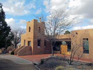
Welcome to Sandoval County!
NMGenWeb is a member of USGenWeb®.
Sandoval County was a thriving area centuries before Don Francisco de Coronado explored the area and camped near present-day Bernalillo in 1540. Prehistoric artifacts in many areas of the County date back thousands of years, with archaeological finds suggesting that Sandia Man lived and hunted in the area thousands of years ago.
The area consisting of modern-day Sandoval County was included in one of two partidos, or districts, created in the New Mexico territory. It became part of Santa Ana County, one of seven political subdivisions created in 1852. Sandoval County was first established as a separate entity on March 10, 1903, nine years before New Mexico's statehood. The area that forms Los Alamos County was separated from Sandoval County in 1949.
According to the U.S. Census Bureau, the county has a total area of 3,714 square miles (9,620 km²), of which 3,709 square miles (9,607 km²) is land and 5 square miles (13 km²) (0.13%) is water. The highest point in the county is the summit of Redondo Peak at 11 254' (3 431m).
A relatively small portion of the county exists as a geographically separate exclave between Los Alamos County and Santa Fe County. This came about when Los Alamos County was created; the land that became the exclave would have been part of Los Alamos but was excluded owing to its sacred status among the local Indians. Rather than be ceded to neighboring Santa Fe (or Los Alamos) it has remained part of Sandoval.
If you are interested in hosting a county, please contact the State Coordinator.
Your help is needed and will be much appreciated.
Sandoval County Coordinator: Angela Lewis
State Coordinator:Leon Moya
Assistant State Coordinators: Beverly Duncan Tom Bombaci, Jr.